2017
SE1729 : The top of Rockhill Lane
taken 7 years ago, near to Oakenshaw, Kirklees, England
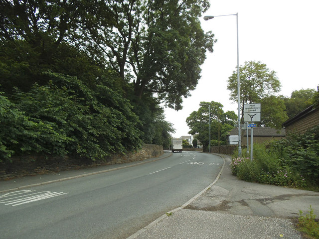
The top of Rockhill Lane
Photographed from the point where the Transpennine Trail (National Cycle Route 66) leaves a bridleway and joins the road.
National Cycle Route 66
Part of the Sustrans National Cycle Network initiative. When completed, National Cycle Route 66 will run between Kingston Upon Hull and Manchester via York, Leeds, Bradford and Rochdale with an offshoot to Ashton-under-Lyne.
 Map © Crown Copyright")
TIP: Click the map for more Large scale mapping
- Grid Square
- SE1729, 138 images (more nearby 🔍)
- Photographer
- Stephen Craven (more nearby)
- Date Taken
- Saturday, 17 June, 2017 (more nearby)
- Submitted
- Saturday, 9 December, 2017
- Subject Location
-
OSGB36:
 SE 1767 2919 [10m precision]
WGS84: 53:45.5263N 1:44.0080W - Camera Location
-
OSGB36: SE 1764 2916
- View Direction
- Northeast (about 45 degrees)