2017
ST6783 : Yate Road, Iron Acton
taken 7 years ago, near to Iron Acton, South Gloucestershire, England
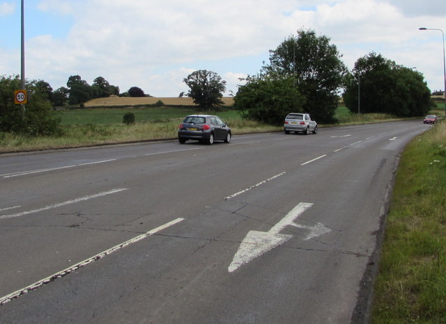
Yate Road, Iron Acton
The sign on the left shows a 50mph speed limit on this part of the B4058.
 Map © Crown Copyright")
TIP: Click the map for more Large scale mapping
- Grid Square
- ST6783, 100 images (more nearby 🔍)
- Photographer
- Jaggery (more nearby)
- Date Taken
- Wednesday, 12 July, 2017 (more nearby)
- Submitted
- Tuesday, 12 December, 2017
- Subject Location
-
OSGB36:
 ST 6781 8384 [10m precision]
WGS84: 51:33.1513N 2:27.9398W - Camera Location
-
OSGB36: ST 6776 8383
- View Direction
- East-northeast (about 67 degrees)