2017
NY8446 : Black Cleugh (2)
taken 6 years ago, near to Allenheads, Northumberland, England
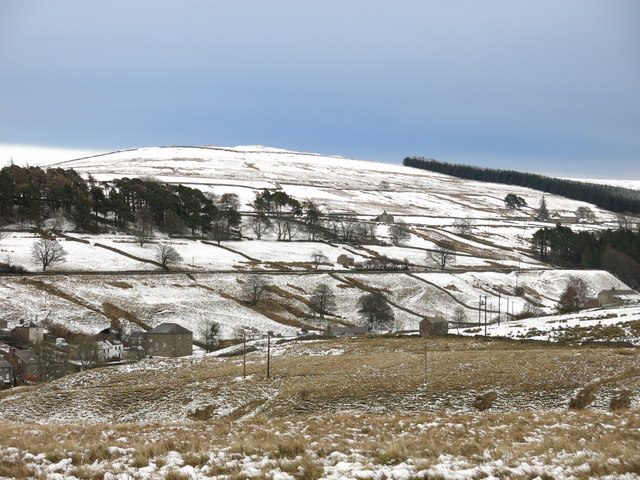
Black Cleugh (2)
Looking from the path to Killhope Law across the cleugh towards the houses at Dirt Pot.
 Map © Crown Copyright")
TIP: Click the map for more Large scale mapping
- Grid Square
- NY8446, 140 images (more nearby 🔍)
- Photographer
- Mike Quinn (more nearby)
- Date Taken
- Saturday, 16 December, 2017 (more nearby)
- Submitted
- Saturday, 16 December, 2017
- Subject Location
-
OSGB36:
 NY 8498 4609 [10m precision]
WGS84: 54:48.5667N 2:14.1129W - Camera Location
-
OSGB36: NY 8480 4611
- View Direction
- EAST (about 90 degrees)