2013
NS3621 : River depth gauge, River Ayr
taken 11 years ago, near to Whitletts, South Ayrshire, Scotland
This is 1 of 6 images, with title starting with River in this square
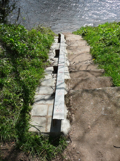
River depth gauge, River Ayr
See also NS3621 : Depth gauge on the bank of the River Ayr. The river overtops its banks during extreme flooding events.
 Map © Crown Copyright")
TIP: Click the map for more Large scale mapping
- Grid Square
- NS3621, 153 images (more nearby 🔍)
- Photographer
- Humphrey Bolton (more nearby)
- Date Taken
- Wednesday, 1 May, 2013 (more nearby)
- Submitted
- Sunday, 17 December, 2017
- Subject Location
-
OSGB36:
 NS 3615 2164 [10m precision]
WGS84: 55:27.6653N 4:35.5805W - Camera Location
-
OSGB36: NS 3615 2164
- View Direction
- South-southwest (about 202 degrees)