2018
SD5201 : Path in Billinge Plantation
taken 6 years ago, near to Billinge, St Helens, England
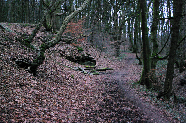
Path in Billinge Plantation
 Map © Crown Copyright")
TIP: Click the map for more Large scale mapping
- Grid Square
- SD5201, 144 images (more nearby 🔍)
- Photographer
- Gary Rogers (more nearby)
- Date Taken
- Monday, 8 January, 2018 (more nearby)
- Submitted
- Monday, 8 January, 2018
- Subject Location
-
OSGB36:
 SD 5267 0170 [10m precision]
WGS84: 53:30.5905N 2:42.9087W - Camera Location
-
OSGB36: SD 5266 0167
- View Direction
- North-northeast (about 22 degrees)