H1948 : A46, Lough Shore Road
taken 7 years ago, 5 km S of Killadeas, Co Fermanagh, Northern Ireland
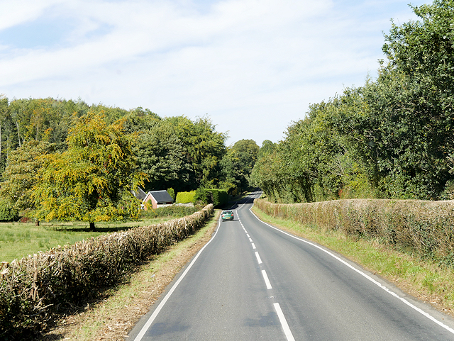
A46, Lough Shore Road
The A46 road in County Fermanagh forms part of the route from Dublin to Ballyshannon. Together with the A509 Link , it links the two ends of the Irish Primary Route (N3/M3) Link together though Northern Ireland, running for 23½ miles between Enniskillen and Belleek along the southwestern shoreline of Lower Lough Erne.
See other images of The A46 (Northern Ireland)
See other images of The A46 (Northern Ireland)
![Creative Commons Licence [Some Rights Reserved]](https://s1.geograph.org.uk/img/somerights20.gif)
|
· Find out How to reuse this image ·
Share:
|
|||||
| Start a discussion on H1948 | Suggest an update to this image | Contact the contributor | |||
Loading map... (JavaScript required)
- Grid Square
- H1948, 4 images (more nearby
 )
)
- Photographer
- David Dixon (find more nearby)
- Date Taken
- Monday, 25 September, 2017 (more nearby)
- Submitted
- Sunday, 14 January, 2018
- Geographical Context
- Road (from Tags)
- Camera (from Tags)
- Subject Location
-
Irish:
 H 197 487 [100m precision]
WGS84: 54:23.1936N 7:41.8145W - Camera Location
-
Irish: H 198 485
- View Direction
- North-northwest (about 337 degrees)
Other Tags
This page has been viewed about 30 times.
View this location:
KML (Google Earth) ·
Google Maps ·
Bing Maps ·
Geograph Coverage Map ·
More Links for this image
·
Bing Maps ·
Geograph Coverage Map ·
More Links for this image