2017
SP2757 : Line of a brook, a footpath and a field boundary north of Wellesbourne
taken 6 years ago, near to Charlecote, Warwickshire, England
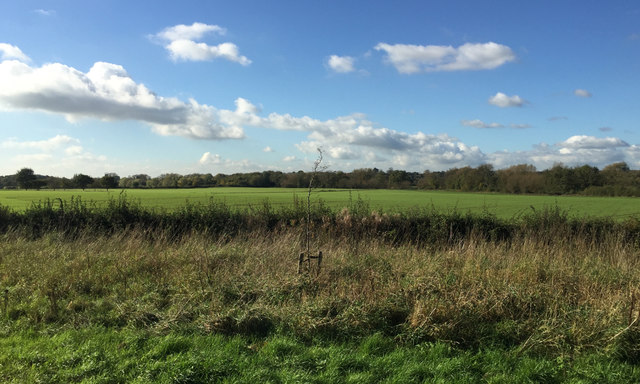
Line of a brook, a footpath and a field boundary north of Wellesbourne
Flat land in the Avon Valley, part of the University of Warwick's Wellesbourne Campus, still shown on the 1:25 000 map as Horticulture Research International. The view is from an X17 Stratford-Warwick bus on the A429.
 Map © Crown Copyright")
TIP: Click the map for more Large scale mapping
- Grid Square
- SP2757, 21 images (more nearby 🔍)
- Photographer
- Robin Stott (more nearby)
- Date Taken
- Friday, 27 October, 2017 (more nearby)
- Submitted
- Wednesday, 17 January, 2018
- Subject Location
-
OSGB36:
 SP 2720 5754 [10m precision]
WGS84: 52:12.9245N 1:36.1984W - Camera Location
-
OSGB36: SP 2739 5736
- View Direction
- Northwest (about 315 degrees)