2017
SX4257 : Mouth of the River Lynher
taken 7 years ago, near to Wilcove, Cornwall, Great Britain
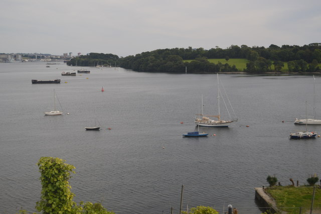
Mouth of the River Lynher
The River Lynher (Cornish: Linar) (or St Germans River downstream from its confluence with the Tiddy) flows through east Cornwall, and enters the River Tamar at the Hamoaze, which in turn flows into Plymouth Sound. The river rises on Bodmin Moor and flows 21 miles.
See other images of River Lynher
See other images of River Lynher
 Map © Crown Copyright")
TIP: Click the map for more Large scale mapping
- Grid Square
- SX4257, 31 images (more nearby 🔍)
- Photographer
- N Chadwick (more nearby)
- Date Taken
- Saturday, 2 September, 2017 (more nearby)
- Submitted
- Tuesday, 23 January, 2018
- Subject Location
-
OSGB36:
 SX 4279 5744 [10m precision]
WGS84: 50:23.7458N 4:12.7930W - Camera Location
-
OSGB36: SX 4253 5777
- View Direction
- Southeast (about 135 degrees)