2007
SK3013 : What's in a name?
taken 17 years ago, near to Donisthorpe, Leicestershire, England
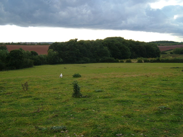
What's in a name?
This plantation running alongside Hooborough brook is known as The Obneys by locals.
 Map © Crown Copyright")
TIP: Click the map for more Large scale mapping
- Grid Square
- SK3013, 14 images (more nearby 🔍)
- Photographer
- cris sloan (more nearby)
- Date Taken
- Monday, 17 September, 2007 (more nearby)
- Submitted
- Wednesday, 26 September, 2007
- Subject Location
-
OSGB36:
 SK 307 139 [100m precision]
WGS84: 52:43.3128N 1:32.7435W - Camera Location
-
OSGB36: SK 310 139
- View Direction
- West-southwest (about 247 degrees)