2018
SO7955 : Lightwood Lane and the A44
taken 6 years ago, near to Leigh, Worcestershire, England
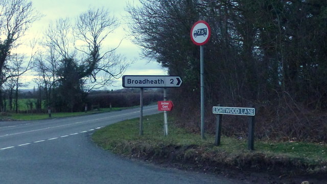
Lightwood Lane and the A44
Looking west towards Bromyard.
 Map © Crown Copyright")
TIP: Click the map for more Large scale mapping
- Grid Square
- SO7955, 22 images (more nearby 🔍)
- Photographer
- Jonathan Billinger (more nearby)
- Date Taken
- Monday, 22 January, 2018 (more nearby)
- Submitted
- Sunday, 11 February, 2018
- Subject Location
-
OSGB36:
 SO 7938 5501 [10m precision]
WGS84: 52:11.5763N 2:18.1842W - Camera Location
-
OSGB36: SO 7940 5501
- View Direction
- WEST (about 270 degrees)