H9031 : Ongoing forestry operation
taken 17 years ago, 4 km NW of Newtownhamilton, Co Armagh, Northern Ireland
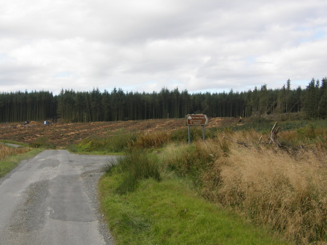
Ongoing forestry operation
Forestry operation on the Viewpoint Road. The road to the right in the picture is the Carrickatuke Road which leads further into the Fews Forest.
![Creative Commons Licence [Some Rights Reserved]](https://s1.geograph.org.uk/img/somerights20.gif)
|
· Find out How to reuse this image ·
Share:
|
|||||
| Start a discussion on H9031 | Suggest an update to this image | Contact the contributor | |||
Loading map... (JavaScript required)
- Grid Square
- H9031 (more nearby
 )
)
- Photographer
- Terry Stewart (find more nearby)
- Date Taken
- Friday, 28 September, 2007 (more nearby)
- Submitted
- Friday, 28 September, 2007
- Category
- Woodland > Forestry (more nearby)
- Subject Location
-
Irish:
 H 905 312 [100m precision]
WGS84: 54:13.3048N 6:36.7970W - Camera Location
-
Irish: H 906 312
- View Direction
- WEST (about 270 degrees)
This page has been viewed about 98 times.
View this location:
KML (Google Earth) ·
Google Maps ·
Bing Maps ·
Geograph Coverage Map ·
More Links for this image
·
Bing Maps ·
Geograph Coverage Map ·
More Links for this image