C4623 : The A2 to Derry
taken 7 years ago, near to Muff, Co Donegal, Ireland
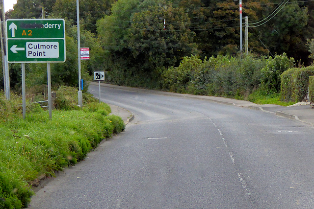
The A2 to Derry
The sign is one of several in the area which have been unofficially changed from "Londonderry" to "Derry" by daubing it with black paint. The name of both city and county have been subject to much dispute Link .
.
The A2 in Northern Ireland
The A2 in Northern Ireland is a major road which runs for 239 miles from the border crossing at Muff (where it becomes the Irish Regional Road R238) to Newry in County Down. A considerable length of the route is often referred to the Antrim Coast Road because much of it follows the scenic coastline of County Antrim; other parts of the road follow the coasts in Counties Down and Londonderry.
![Creative Commons Licence [Some Rights Reserved]](https://s1.geograph.org.uk/img/somerights20.gif)
|
· Find out How to reuse this image ·
Share:
|
|||||
| Start a discussion on C4623 | Suggest an update to this image | Contact the contributor | |||
Loading map... (JavaScript required)
- Grid Square
- C4623, 6 images (more nearby
 )
)
- Photographer
- David Dixon (find more nearby)
- Date Taken
- Tuesday, 26 September, 2017 (more nearby)
- Submitted
- Sunday, 18 February, 2018
- Geographical Context
- Camera (from Tags)
- Road (from Tags)
- Subject Location
-
Irish:
 C 466 232 [100m precision]
WGS84: 55:3.2765N 7:16.2202W - Camera Location
-
Irish: C 467 233
- View Direction
- South-southwest (about 202 degrees)
Other Tags
This page has been viewed about 33 times.
View this location:
KML (Google Earth) ·
Google Maps ·
Bing Maps ·
Geograph Coverage Map ·
More Links for this image