2018
TL1118 : B653 Lower Harpenden Road, New Mill End
taken 6 years ago, near to New Mill End, Central Bedfordshire, England
This is 1 of 3 images, with title B653 Lower Harpenden Road, New Mill End in this square
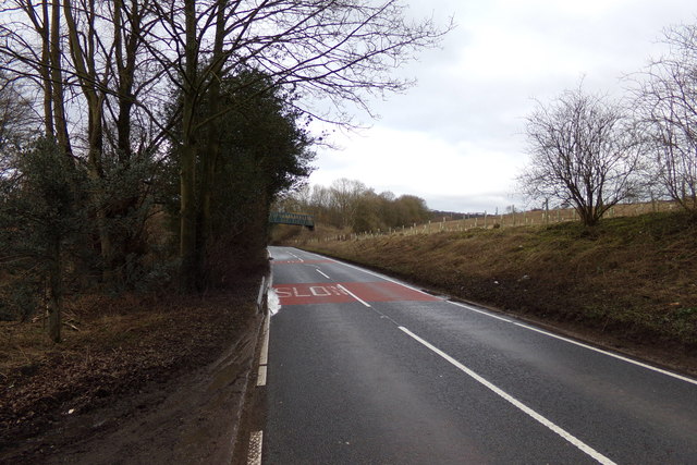
B653 Lower Harpenden Road, New Mill End
 Map © Crown Copyright")
TIP: Click the map for more Large scale mapping
- Grid Square
- TL1118, 33 images (more nearby 🔍)
- Photographer
- Geographer (more nearby)
- Date Taken
- Tuesday, 20 February, 2018 (more nearby)
- Submitted
- Wednesday, 21 February, 2018
- Subject Location
-
OSGB36:
 TL 11965 18256 [1m precision]
WGS84: 51:51.1007N 0:22.5496W - Camera Location
-
OSGB36: TL 11965 18256
- View Direction
- North-northwest (about 337 degrees)