J2994 : Narrow Gauge to Ballymena
taken 17 years ago, 3 km from Ballyclare, Co Antrim, Northern Ireland
Narrow Gauge to Ballymena
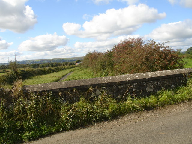
Looking over the Ballybanagh bridge, the route of the old line from Larne to Ballymena can be seen in the distance
![Creative Commons Licence [Some Rights Reserved]](https://s1.geograph.org.uk/img/somerights20.gif)
|
· Find out How to reuse this image ·
Share:
|
|||||
| Start a discussion on J2994 | Suggest an update to this image | Contact the contributor | |||
Loading map... (JavaScript required)
- Grid Square
- J2994, 3 images (more nearby
 )
)
- Photographer
- Raymond Okonski (find more nearby)
- Date Taken
- Thursday, 27 September, 2007 (more nearby)
- Submitted
- Saturday, 29 September, 2007
- Category
- Railway (disused) (more nearby)
- Subject Location
-
Irish:
 J 292 944 [100m precision]
WGS84: 54:46.8725N 5:59.5316W - Camera Location
-
Irish: J 293 944
- View Direction
- WEST (about 270 degrees)
Image classification(about):
Geograph
This page has been viewed about 243 times.
View this location:
KML (Google Earth) ·
Google Maps ·
Bing Maps ·
Geograph Coverage Map ·
More Links for this image
·
Bing Maps ·
Geograph Coverage Map ·
More Links for this image