J2896 : Braepark Road
taken 17 years ago, 5 km N of Ballyclare, Co Antrim, Northern Ireland
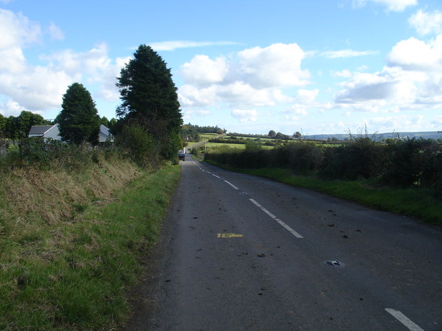
Braepark Road
![Creative Commons Licence [Some Rights Reserved]](https://s1.geograph.org.uk/img/somerights20.gif)
|
· Find out How to reuse this image ·
Share:
|
|||||
| Start a discussion on J2896 | Suggest an update to this image | Contact the contributor | |||
Loading map... (JavaScript required)
- Grid Square
- J2896, 2 images (more nearby
 )
)
- Photographer
- Raymond Okonski (find more nearby)
- Date Taken
- Thursday, 27 September, 2007 (more nearby)
- Submitted
- Saturday, 29 September, 2007
- Category
- Country road (more nearby)
- Subject Location
-
Irish:
 J 283 965 [100m precision]
WGS84: 54:48.0089N 6:0.3141W - Camera Location
-
Irish: J 281 965
- View Direction
- EAST (about 90 degrees)
This page has been viewed about 116 times.
View this location:
KML (Google Earth) ·
Google Maps ·
Bing Maps ·
Geograph Coverage Map ·
More Links for this image
·
Bing Maps ·
Geograph Coverage Map ·
More Links for this image