J3397 : Moss Road Bridge
taken 17 years ago, 6 km SW of Millbrook, Co Antrim, Northern Ireland
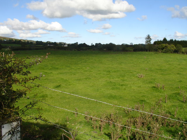
Moss Road Bridge
It may be marked on the OSNI maps, but there's nothing on the ground that would lead anyone to believe this field once was the route of the old Larne to Ballymena narrow gauge railway.
![Creative Commons Licence [Some Rights Reserved]](https://s1.geograph.org.uk/img/somerights20.gif)
|
· Find out How to reuse this image ·
Share:
|
|||||
| Start a discussion on J3397 | Suggest an update to this image | Contact the contributor | |||
Loading map... (JavaScript required)
- Grid Square
- J3397, 6 images (more nearby
 )
)
- Photographer
- Raymond Okonski (find more nearby)
- Date Taken
- Thursday, 27 September, 2007 (more nearby)
- Submitted
- Saturday, 29 September, 2007
- Category
- Railway (disused) (more nearby)
- Subject Location
-
Irish:
 J 337 971 [100m precision]
WGS84: 54:48.2606N 5:55.2073W - Camera Location
-
Irish: J 337 971
- View Direction
- Northeast (about 45 degrees)
This page has been viewed about 651 times.
View this location:
KML (Google Earth) ·
Google Maps ·
Bing Maps ·
Geograph Coverage Map ·
More Links for this image
·
Bing Maps ·
Geograph Coverage Map ·
More Links for this image