2007
SP0159 : View down steep ridge to farmland
taken 17 years ago, near to Holberrow Green, Worcestershire, England
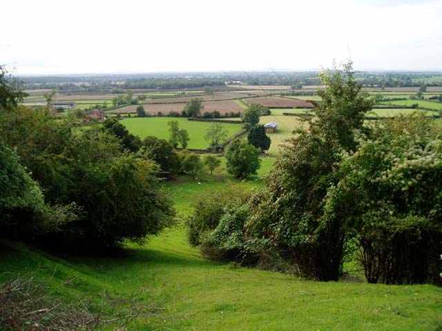
View down steep ridge to farmland
This steep footpath leads down to farmland behind Morton Underhill.
 Map © Crown Copyright")
TIP: Click the map for more Large scale mapping
- Grid Square
- SP0159, 31 images (more nearby 🔍)
- Photographer
- Claire Seyler (more nearby)
- Date Taken
- Sunday, 30 September, 2007 (more nearby)
- Submitted
- Monday, 1 October, 2007
- Subject Location
-
OSGB36:
 SP 016 593 [100m precision]
WGS84: 52:13.9353N 1:58.6619W - Camera Location
-
OSGB36: SP 017 593
- View Direction
- West-northwest (about 292 degrees)