J1019 : The Upper Fathom Road junction on the Ferryhill Road
taken 6 years ago, 4 km WSW of Burren, Co Down, Northern Ireland
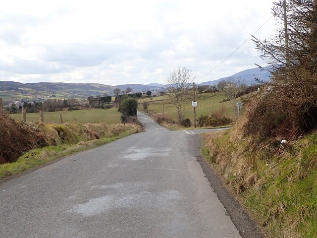
The Upper Fathom Road junction on the Ferryhill Road
Some 800m beyond the junction, on Ferryhill Road, is the spectacular Clontigora Court Tomb which dates back to 3500 BCE.[J0919].
![Creative Commons Licence [Some Rights Reserved]](https://s1.geograph.org.uk/img/somerights20.gif)
|
· Find out How to reuse this image ·
Share:
|
|||||
| Start a discussion on J1019 | Suggest an update to this image | Contact the contributor | |||
Loading map... (JavaScript required)
- Grid Square
- J1019, 28 images (more nearby
 )
)
- Photographer
- Eric Jones (find more nearby)
- Date Taken
- Tuesday, 13 March, 2018 (more nearby)
- Submitted
- Tuesday, 20 March, 2018
- Geographical Context
- Subject Location
-
Irish:
 J 105 199 [100m precision]
WGS84: 54:7.0082N 6:18.6460W - Camera Location
-
Irish: J 105 199
- View Direction
- West-southwest (about 247 degrees)
This page has been viewed about 20 times.
View this location:
KML (Google Earth) ·
Google Maps ·
Bing Maps ·
Geograph Coverage Map ·
More Links for this image
·
Bing Maps ·
Geograph Coverage Map ·
More Links for this image