H4772 : "Road closed here", Cranny
taken 6 years ago, near to Omagh, Co Tyrone, Northern Ireland
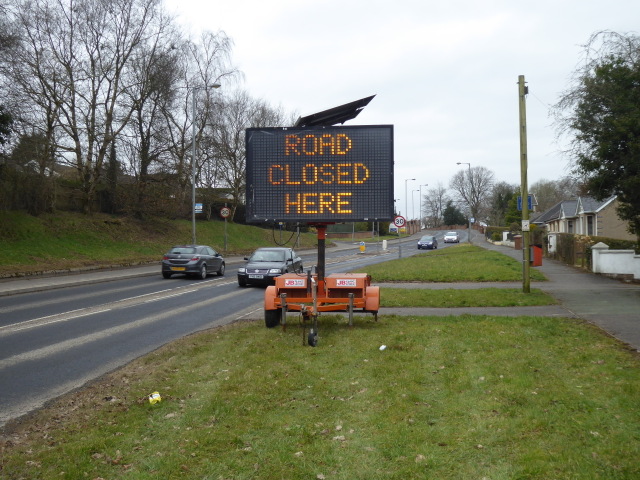
"Road closed here", Cranny
Looking north-west at Donaghanie / Hospital Road
![Creative Commons Licence [Some Rights Reserved]](https://s1.geograph.org.uk/img/somerights20.gif)
|
· Find out How to reuse this image ·
Share:
|
|||||
|
There are 2 posts in a
discussion on H4772 (preview on the left) |
Suggest an update to this image | Contact the contributor | |||
Loading map... (JavaScript required)
- Grid Square
- H4772, 4818 images (more nearby
 )
)
- Photographer
- Kenneth Allen (find more nearby)
- Date Taken
- Thursday, 22 March, 2018 (more nearby)
- Submitted
- Thursday, 22 March, 2018
- Geographical Context
- Subject Location
-
Irish:
 H 470 722 [100m precision]
WGS84: 54:35.7786N 7:16.3608W - Camera Location
-
Irish: H 470 722
- View Direction
- Northwest (about 315 degrees)
Other Tags
This page has been viewed about 6 times.
View this location:
KML (Google Earth) ·
Google Maps ·
Bing Maps ·
Geograph Coverage Map ·
More Links for this image
·
Bing Maps ·
Geograph Coverage Map ·
More Links for this image