S4475 : Road and Bridge
taken 6 years ago, near to Attanagh, Co Laois, Ireland
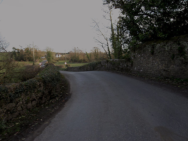
Road and Bridge
Bridge carrying minor road over the Oubeg River, a tributary to the River Nore. The river, at this point, defines the boundary between counties Laois and Kilkenny.
![Creative Commons Licence [Some Rights Reserved]](https://s1.geograph.org.uk/img/somerights20.gif)
|
· Find out How to reuse this image ·
Share:
|
|||||
| Start a discussion on S4475 | Suggest an update to this image | Contact the contributor | |||
Loading map... (JavaScript required)
- Grid Square
- S4475, 3 images (more nearby
 )
)
- Photographer
- kevin higgins (find more nearby)
- Date Taken
- Saturday, 24 March, 2018 (more nearby)
- Submitted
- Saturday, 24 March, 2018
- Geographical Context
- Primary Subject of Photo
- Subject Location
-
Irish:
 S 441 758 [100m precision]
WGS84: 52:49.9450N 7:20.7318W - Camera Location
-
Irish: S 441 759
- View Direction
- South-southeast (about 157 degrees)
This page has been viewed about 11 times.
View this location:
KML (Google Earth) ·
Google Maps ·
Bing Maps ·
Geograph Coverage Map ·
More Links for this image
·
Bing Maps ·
Geograph Coverage Map ·
More Links for this image