J0314 : Farm track forming part of the Ring of Gullion Path
taken 6 years ago, 3 km from Forkhill, Co Armagh, Northern Ireland
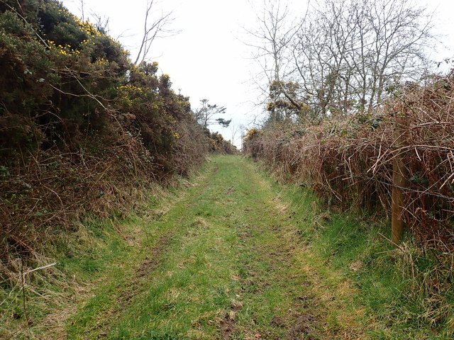
Farm track forming part of the Ring of Gullion Path
This track on the southern edge of Doaihilmore runs in NW-SE direction.
![Creative Commons Licence [Some Rights Reserved]](https://s1.geograph.org.uk/img/somerights20.gif)
|
· Find out How to reuse this image ·
Share:
|
|||||
| Start a discussion on J0314 | Suggest an update to this image | Contact the contributor | |||
Loading map... (JavaScript required)
- Grid Square
- J0314, 30 images (more nearby
 )
)
- Photographer
- Eric Jones (find more nearby)
- Date Taken
- Monday, 9 April, 2018 (more nearby)
- Submitted
- Wednesday, 18 April, 2018
- Geographical Context
- Subject Location
-
Irish:
 J 036 144 [100m precision]
WGS84: 54:4.1138N 6:25.0329W - Camera Location
-
Irish: J 035 145
- View Direction
- South-southeast (about 157 degrees)
This page has been viewed about 17 times.
View this location:
KML (Google Earth) ·
Google Maps ·
Bing Maps ·
Geograph Coverage Map ·
More Links for this image
·
Bing Maps ·
Geograph Coverage Map ·
More Links for this image