J3639 : Ruined farmstead above Aghlisnafin Road
taken 6 years ago, 3 km from Annsborough, Co Down, Northern Ireland
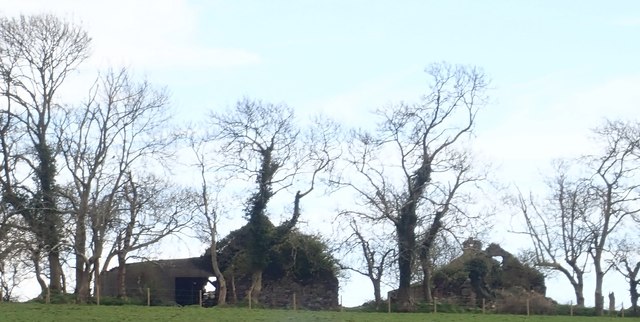
Ruined farmstead above Aghlisnafin Road
This is located on the drumlin ridge above Walter Watson Reinforcement Fabricators.
![Creative Commons Licence [Some Rights Reserved]](https://s1.geograph.org.uk/img/somerights20.gif)
|
· Find out How to reuse this image ·
Share:
|
|||||
| Start a discussion on J3639 | Suggest an update to this image | Contact the contributor | |||
Loading map... (JavaScript required)
- Grid Square
- J3639, 22 images (more nearby
 )
)
- Photographer
- Eric Jones (find more nearby)
- Date Taken
- Thursday, 19 April, 2018 (more nearby)
- Submitted
- Friday, 20 April, 2018
- Geographical Context
- Subject Location
-
Irish:
 J 362 397 [100m precision]
WGS84: 54:17.2875N 5:54.5069W - Camera Location
-
Irish: J 361 395
- View Direction
- Northeast (about 45 degrees)
This page has been viewed about 18 times.
View this location:
KML (Google Earth) ·
Google Maps ·
Bing Maps ·
Geograph Coverage Map ·
More Links for this image
·
Bing Maps ·
Geograph Coverage Map ·
More Links for this image