2018
SE4824 : Underpass No 28738 - Station Road
taken 6 years ago, near to Ferrybridge, Wakefield, England
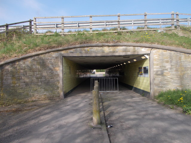
Underpass No 28738 - Station Road
 Map © Crown Copyright")
TIP: Click the map for more Large scale mapping
- Grid Square
- SE4824, 334 images (more nearby 🔍)
- Photographer
- Betty Longbottom (more nearby)
- Contributed by
- Alan Longbottom (more nearby)
- Date Taken
- Saturday, 21 April, 2018 (more nearby)
- Submitted
- Saturday, 21 April, 2018
- Subject Location
-
OSGB36:
 SE 4831 2428 [10m precision]
WGS84: 53:42.7627N 1:16.1715W - Camera Location
-
OSGB36: SE 4832 2428
- View Direction
- WEST (about 270 degrees)