2018
NB0911 : Eastern side of Ulabhal
taken 6 years ago, near to Ulabhal [hill or Mountain], Na h-Eileanan an Iar, Great Britain
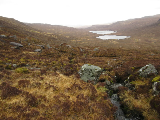
Eastern side of Ulabhal
The lower slopes of Ulabhal are rough and tussocky on this side. the twin lochs are Lochan an Fheoir and Loch Bhoisimid.
 Map © Crown Copyright")
TIP: Click the map for more Large scale mapping
- Grid Square
- NB0911 (more nearby 🔍)
- Photographer
- Andrew Spenceley (more nearby)
- Date Taken
- Monday, 23 April, 2018 (more nearby)
- Submitted
- Thursday, 3 May, 2018
- Subject Location
-
OSGB36:
 NB 0981 1185 [10m precision]
WGS84: 58:0.0454N 6:54.8202W - Camera Location
-
OSGB36: NB 0958 1108
- View Direction
- North-northeast (about 22 degrees)