2018
NN6241 : Path descending from Beinn Ghlas
taken 6 years ago, 4 km NNW of Carie, Perth And Kinross, Scotland
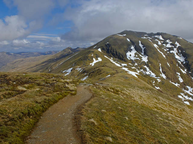
Path descending from Beinn Ghlas
Approaching the bealach before climbing to the top of Ben Lawers.
 Map © Crown Copyright")
TIP: Click the map for more Large scale mapping
- Grid Square
- NN6241, 21 images (more nearby 🔍)
- Photographer
- John Allan (more nearby)
- Date Taken
- Sunday, 6 May, 2018 (more nearby)
- Submitted
- Friday, 11 May, 2018
- Subject Location
-
OSGB36:
 NN 629 410 [100m precision]
WGS84: 56:32.4842N 4:13.8181W - Camera Location
-
OSGB36: NN 629 410
- View Direction
- Northeast (about 45 degrees)