J0824 : The Clady Ready Mix Plant viewed across the Newry Ship Canal
taken 6 years ago, near to Newry, Co Down, Northern Ireland
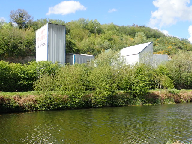
The Clady Ready Mix Plant viewed across the Newry Ship Canal
The plant is separated from the canal by the Fathom Road.
Newry Greenway
The embankment separating the Newry Ship Canal and the Newry River known as the Middlebank has been adapted to provide an extension link to the 30kms Newry Canal Trail from Portadown to Newry. It runs between Newry's Albert Basin and the Victoria Lock - a distance of 5.7 kms. Eventually, it will be extended across the Border to link with the existing Omeath - Carlingford Greenway thus providing a motor vehicle free walking and cycling corridor from Portadown to Carlingford.
![Creative Commons Licence [Some Rights Reserved]](https://s1.geograph.org.uk/img/somerights20.gif)
|
· Find out How to reuse this image ·
Share:
|
|||||
| Start a discussion on J0824 | Suggest an update to this image | Contact the contributor | |||
Loading map... (JavaScript required)
- Grid Square
- J0824, 63 images (more nearby
 )
)
- Photographer
- Eric Jones (find more nearby)
- Date Taken
- Saturday, 12 May, 2018 (more nearby)
- Submitted
- Tuesday, 15 May, 2018
- Geographical Context
- Subject Location
-
Irish:
 J 089 242 [100m precision]
WGS84: 54:9.3614N 6:20.0014W - Camera Location
-
Irish: J 090 242
- View Direction
- WEST (about 270 degrees)
Image Type (about):
cross grid
This page has been viewed about 41 times.
View this location:
KML (Google Earth) ·
Google Maps ·
Bing Maps ·
Geograph Coverage Map ·
More Links for this image
·
Bing Maps ·
Geograph Coverage Map ·
More Links for this image