J1119 : Narrow Water from a bracken infested clearing in the Fathom Forest
taken 6 years ago, 3 km from Warrenpoint, Co Down, Northern Ireland
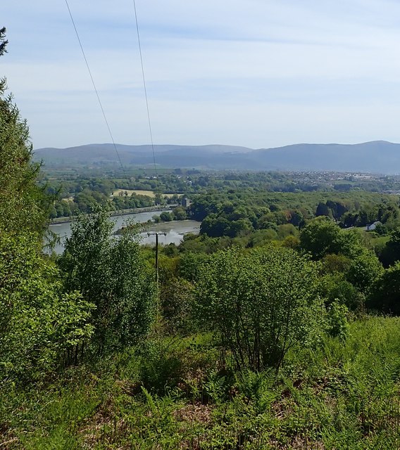
Narrow Water from a bracken infested clearing in the Fathom Forest
The power lines descend to the County Bridge Border Crossing on the Fathom Line Road.
![Creative Commons Licence [Some Rights Reserved]](https://s1.geograph.org.uk/img/somerights20.gif)
|
· Find out How to reuse this image ·
Share:
|
|||||
|
There are 5 posts in a
discussion on J1119 (preview on the left) |
Suggest an update to this image | Contact the contributor | |||
Loading map... (JavaScript required)
- Grid Square
- J1119, 53 images (more nearby
 )
)
- Photographer
- Eric Jones (find more nearby)
- Date Taken
- Saturday, 19 May, 2018 (more nearby)
- Submitted
- Thursday, 24 May, 2018
- Geographical Context
- Subject Location
-
Irish:
 J 113 192 [100m precision]
WGS84: 54:6.5933N 6:17.9014W - Camera Location
-
Irish: J 112 191
- View Direction
- East-northeast (about 67 degrees)
This page has been viewed about 33 times.
View this location:
KML (Google Earth) ·
Google Maps ·
Bing Maps ·
Geograph Coverage Map ·
More Links for this image
·
Bing Maps ·
Geograph Coverage Map ·
More Links for this image