W7871 : Gateway to Fota House and Gardens
taken 6 years ago, 3 km from Glounthaune, Co Cork, Ireland
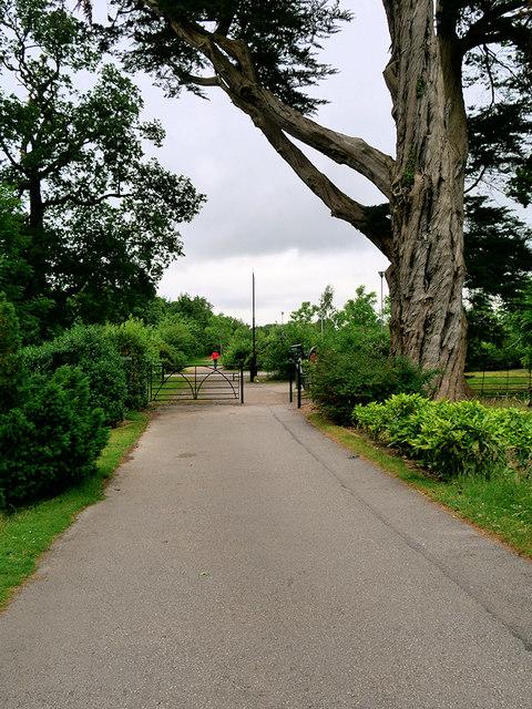
Gateway to Fota House and Gardens
Fota House was the former home of the Smith-Barry family (Earls of Barrymore since 1627), descendants of Philip de Barry. Fota House was originally a hunting lodge and became the family's main residence in the 1820s when it was enlarged by the architect, Sir Richard Morrison (17671849) and his son Vetruvius Morrison (17941838) to create the regency mansion with over 70 rooms.
During the latter part of the last century, the house fell into some disrepair, culminating in the collapse of a ceiling. This closed the house to the public for some time. It was restored using EU, Irish government and private funding, prior to reopening in early 2002. In December 2007 an independent charity, the Irish Heritage Trust, took over responsibility for Fota House.
The layout and structure of the arboretum and gardens in the grounds of Fota House date largely from the tenure of the Smith-Barry family. They consist of a structured arboretum, walled garden and terraces. The gardens include rare and exotic shrubs and trees, along with an extensive rose garden. The State was given control of the arboretum and gardens in 1996 and they are now administered by the Office of Public Works in conjunction with the Irish Heritage Trust.
See other images of Fota House and Gardens
![Creative Commons Licence [Some Rights Reserved]](https://s1.geograph.org.uk/img/somerights20.gif)
|
· Find out How to reuse this image ·
Share:
|
|||||
| Start a discussion on W7871 | Suggest an update to this image | Contact the contributor | |||
Loading map... (JavaScript required)
- Grid Square
- W7871, 33 images (more nearby
 )
)
- Photographer
- David Dixon (find more nearby)
- Date Taken
- Monday, 18 June, 2018 (more nearby)
- Submitted
- Monday, 25 June, 2018
- Geographical Context
- Camera (from Tags)
- Subject Location
-
Irish:
 W 789 712 [100m precision]
WGS84: 51:53.6357N 8:18.3985W - Camera Location
-
Irish: W 789 713
- View Direction
- EAST (about 90 degrees)
Other Tags
This page has been viewed about 21 times.
View this location:
KML (Google Earth) ·
Google Maps ·
Bing Maps ·
Geograph Coverage Map ·
More Links for this image
·
Bing Maps ·
Geograph Coverage Map ·
More Links for this image