2018
SE0412 : Path along the edge of the moor, Netherwood Heys, Marsden
taken 6 years ago, near to Marsden, Kirklees, England
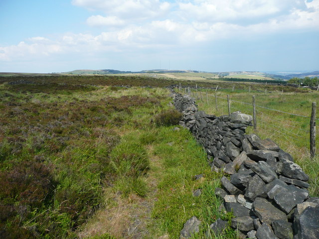
Path along the edge of the moor, Netherwood Heys, Marsden
Although it is Open Access land the field to the right is now improved pasture, so this wall and fence mark the edge of the moorland.
 Map © Crown Copyright")
TIP: Click the map for more Large scale mapping
- Grid Square
- SE0412, 74 images (more nearby 🔍)
- Photographer
- Humphrey Bolton (more nearby)
- Date Taken
- Thursday, 5 July, 2018 (more nearby)
- Submitted
- Saturday, 7 July, 2018
- Subject Location
-
OSGB36:
 SE 0455 1266 [10m precision]
WGS84: 53:36.6285N 1:55.9622W - Camera Location
-
OSGB36: SE 0455 1266
- View Direction
- Northeast (about 45 degrees)