2007
TF7123 : West across arable land
taken 17 years ago, near to Congham, Norfolk, England
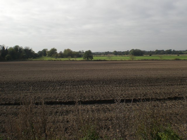
West across arable land
From footpath to Congham Wood.
 Map © Crown Copyright")
TIP: Click the map for more Large scale mapping
- Grid Square
- TF7123, 40 images (more nearby 🔍)
- Photographer
- Nigel Jones (more nearby)
- Date Taken
- Saturday, 13 October, 2007 (more nearby)
- Submitted
- Saturday, 13 October, 2007
- Subject Location
-
OSGB36:
 TF 711 238 [100m precision]
WGS84: 52:47.0793N 0:32.1380E - Camera Location
-
OSGB36: TF 713 238
- View Direction
- WEST (about 270 degrees)