2018
TL1847 : RSPB The Lodge, Sandy
taken 6 years ago, near to Beeston, Central Bedfordshire, England
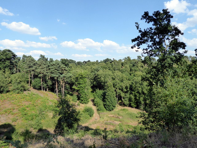
RSPB The Lodge, Sandy
The land was purchased in 1851 by Captain Sir William Peel - At the time it was probably open heath. He planted it with trees and built the Swiss Cottage style house that is now the gatehouse and shop on the reserve. Awarded the Victoria Cross in 1854, Capt. Sir William Peel VC KCB died during the Indian Mutiny in 1858 of smallpox. The land passed to his brother, Arthur Wellesley Peel, who built the main house known as The Lodge in 1870. In World War II the land, then owned by Lord Stewart of Stewartby, was requisitioned by the Ministry of Defence and used for storing ammunition and weapons. The RSPB (Royal Society for the Protection of Birds) purchased the land and opened the reserve to the public in 1961. It is the Society's headquarters. The woodland, heath and acid grassland of the reserve cover 180 hectares, and are being restored to form the largest stretch of heathland in Bedfordshire. The reserve also contains a well preserved Iron Age hill fort.
Information from Wikipedia and the RSPB website where a fuller and more detailed history can be found.
See other images of The Lodge RSPB Nature Reserve
Information from Wikipedia and the RSPB website where a fuller and more detailed history can be found.
See other images of The Lodge RSPB Nature Reserve
 Map © Crown Copyright")
TIP: Click the map for more Large scale mapping
- Grid Square
- TL1847, 56 images (more nearby 🔍)
- Photographer
- PAUL FARMER (more nearby)
- Date Taken
- Sunday, 15 July, 2018 (more nearby)
- Submitted
- Wednesday, 18 July, 2018
- Subject Location
-
OSGB36:
 TL 186 479 [100m precision]
WGS84: 52:7.0128N 0:16.1227W - Camera Location
-
OSGB36: TL 185 479
- View Direction
- East-southeast (about 112 degrees)