W6469 : Sliproad onto Eastbound N40 at Bishopstown
taken 6 years ago, 3 km from Cork, Co Cork, Ireland
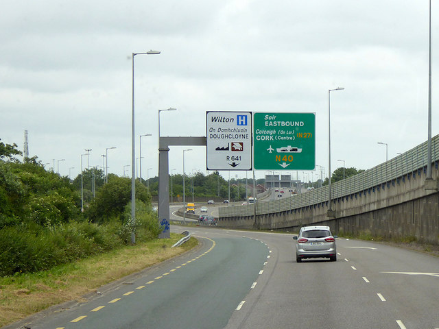
Sliproad onto Eastbound N40 at Bishopstown
The N40 road (commonly known as the Cork South Ring Road) is an Irish national primary road which forms an orbital route around the south side of the city of Cork, linking the N22 at Ballincollig to the N25 at the Dunkettle Interchange.
See other images of The N40 Road in Ireland
See other images of The N40 Road in Ireland
![Creative Commons Licence [Some Rights Reserved]](https://s1.geograph.org.uk/img/somerights20.gif)
|
· Find out How to reuse this image ·
Share:
|
|||||
| Start a discussion on W6469 | Suggest an update to this image | Contact the contributor | |||
Loading map... (JavaScript required)
- Grid Square
- W6469, 13 images (more nearby
 )
)
- Photographer
- David Dixon (find more nearby)
- Date Taken
- Tuesday, 19 June, 2018 (more nearby)
- Submitted
- Wednesday, 18 July, 2018
- Geographical Context
- Road (from Tags)
- Camera (from Tags)
- Subject Location
-
Irish:
 W 642 692 [100m precision]
WGS84: 51:52.4963N 8:31.1711W - Camera Location
-
Irish: W 641 692
- View Direction
- EAST (about 90 degrees)
Other Tags
This page has been viewed about 67 times.
View this location:
KML (Google Earth) ·
Google Maps ·
Bing Maps ·
Geograph Coverage Map ·
More Links for this image
·
Bing Maps ·
Geograph Coverage Map ·
More Links for this image