W6365 : Maxol Filling Station on the Southbound N71
taken 6 years ago, 3 km from Ballinhassig, Co Cork, Ireland
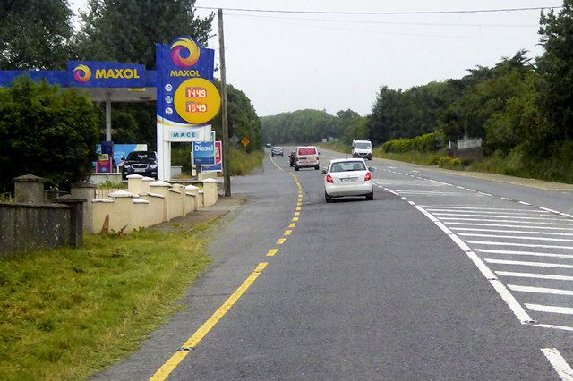
Maxol Filling Station on the Southbound N71
The N71 is a national secondary road running for 184 km (116 miles) from the outskirts of Cork City to Killarney in County Kerry. The road is mostly relatively poor single carriageway, with better sections towards the Cork end of the route.
See other images of The N71 Road in Ireland
See other images of The N71 Road in Ireland
![Creative Commons Licence [Some Rights Reserved]](https://s1.geograph.org.uk/img/somerights20.gif)
|
· Find out How to reuse this image ·
Share:
|
|||||
| Start a discussion on W6365 | Suggest an update to this image | Contact the contributor | |||
Loading map... (JavaScript required)
- Grid Square
- W6365, 3 images (more nearby
 )
)
- Photographer
- David Dixon (find more nearby)
- Date Taken
- Tuesday, 19 June, 2018 (more nearby)
- Submitted
- Thursday, 19 July, 2018
- Geographical Context
- Camera (from Tags)
- Road (from Tags)
- Subject Location
-
Irish:
 W 633 654 [100m precision]
WGS84: 51:50.4600N 8:31.9138W - Camera Location
-
Irish: W 634 655
- View Direction
- SOUTH (about 180 degrees)
Other Tags
This page has been viewed about 87 times.
View this location:
KML (Google Earth) ·
Google Maps ·
Bing Maps ·
Geograph Coverage Map ·
More Links for this image
·
Bing Maps ·
Geograph Coverage Map ·
More Links for this image