J2212 : View WNW along the Carlingford Lough
taken 6 years ago, near to Greenore, Co Louth, Ireland
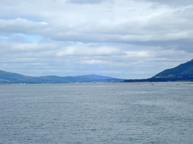
View WNW along the Carlingford Lough
The Carlingford Lough is a submerged fault guided U-shaped valley - a fjord. The hills on the left which are nearest the camera are in the Republic of Ireland, Those on the right and in the background centre are in Northern Ireland. The image was taken from the ferry Aisling Gabrielle.
![Creative Commons Licence [Some Rights Reserved]](https://s1.geograph.org.uk/img/somerights20.gif)
|
· Find out How to reuse this image ·
Share:
|
|||||
| Start a discussion on J2212 | Suggest an update to this image | Contact the contributor | |||
Loading map... (JavaScript required)
- Grid Square
- J2212 (more nearby
 )
)
- Photographer
- Eric Jones (find more nearby)
- Date Taken
- Tuesday, 24 July, 2018 (more nearby)
- Submitted
- Saturday, 28 July, 2018
- Geographical Context
- Subject Location
-
Irish:
 J 225 122 [100m precision]
WGS84: 54:2.7075N 6:7.8186W - Camera Location
-
Irish: J 245 110
- View Direction
- West-northwest (about 292 degrees)
This page has been viewed about 59 times.
View this location:
KML (Google Earth) ·
Google Maps ·
Bing Maps ·
Geograph Coverage Map ·
More Links for this image
·
Bing Maps ·
Geograph Coverage Map ·
More Links for this image