2018
NB2039 : Cattle grid on A858 near Cnoc Leathann
taken 6 years ago, near to Tolsta Chaolais, Isle of Lewis And Harris, Na h-Eileanan an Iar, Scotland
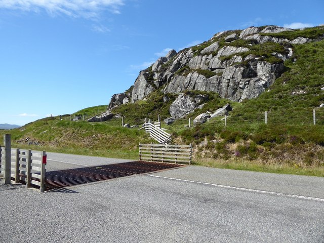
Cattle grid on A858 near Cnoc Leathann
 Map © Crown Copyright")
TIP: Click the map for more Large scale mapping
- Grid Square
- NB2039, 4 images (more nearby 🔍)
- Photographer
- David Gearing (more nearby)
- Date Taken
- Monday, 2 July, 2018 (more nearby)
- Submitted
- Tuesday, 31 July, 2018
- Subject Location
-
OSGB36:
 NB 2010 3900 [10m precision]
WGS84: 58:15.0218N 6:46.3590W - Camera Location
-
OSGB36: NB 2010 3900
- View Direction
- East-northeast (about 67 degrees)