2018
NZ1634 : Old gatepost, Watergate Lane
taken 6 years ago, near to Howden-le-Wear, County Durham, England
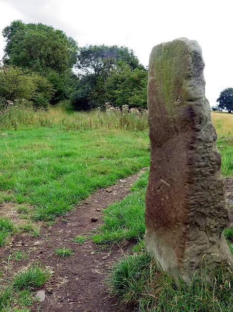
Old gatepost, Watergate Lane
There is an Ordnance Survey benchmark on the inner stone surface.
 Map © Crown Copyright")
TIP: Click the map for more Large scale mapping
- Grid Square
- NZ1634, 25 images (more nearby 🔍)
- Photographer
- Andrew Curtis (more nearby)
- Date Taken
- Saturday, 4 August, 2018 (more nearby)
- Submitted
- Monday, 6 August, 2018
- Subject Location
-
OSGB36:
 NZ 1668 3428 [10m precision]
WGS84: 54:42.1962N 1:44.5608W - Camera Location
-
OSGB36: NZ 16677 34292
- View Direction
- Southeast (about 135 degrees)