2018
SJ6404 : Farmland south Buildwas Abbey
taken 6 years ago, near to Buildwas, Shropshire, England
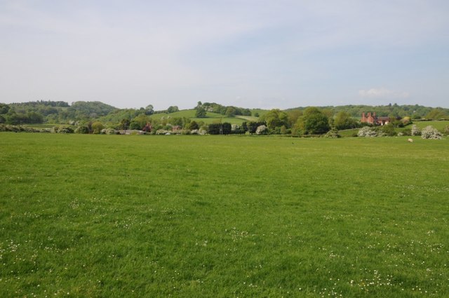
Farmland south Buildwas Abbey
Farmland south Buildwas Abbey, Mill Farm can be seen on the right.
 Map © Crown Copyright")
TIP: Click the map for more Large scale mapping
- Grid Square
- SJ6404, 176 images (more nearby 🔍)
- Photographer
- Philip Halling (more nearby)
- Date Taken
- Friday, 18 May, 2018 (more nearby)
- Submitted
- Sunday, 12 August, 2018
- Subject Location
-
OSGB36:
 SJ 6429 0411 [10m precision]
WGS84: 52:38.0135N 2:31.7444W - Camera Location
-
OSGB36: SJ 6442 0419
- View Direction
- West-southwest (about 247 degrees)