J3474 : Middlepath Street, Belfast
taken 17 years ago, near to Belfast, Co Antrim, Northern Ireland
This is 1 of 2 images, with title starting with Middlepath Street, Belfast in this square
Middlepath Street, Belfast
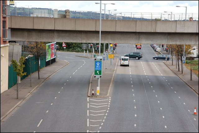
Middlepath Street is a continuation from the Queen Elizabeth Bridge J3474 : The Queen Elizabeth Bridge, Belfast. It was widened in the 60s. The bridge carries the railway to Londonderry and Larne.
![Creative Commons Licence [Some Rights Reserved]](https://s1.geograph.org.uk/img/somerights20.gif)
|
· Find out How to reuse this image ·
Share:
|
|||||
|
There are 4 posts in a
discussion on J3474 (preview on the left) |
Suggest an update to this image | Contact the contributor | |||
Loading map... (JavaScript required)
- Grid Square
- J3474, 4349 images (more nearby
 )
)
- Photographer
- Albert Bridge (find more nearby)
- Date Taken
- Thursday, 18 October, 2007 (more nearby)
- Submitted
- Thursday, 18 October, 2007
- Category
- Road > Road (more nearby)
- Subject Location
-
Irish:
 J 346 744 [100m precision]
WGS84: 54:36.0254N 5:55.0242W - Camera Location
-
Irish: J 345 744
- View Direction
- EAST (about 90 degrees)
Image classification(about):
Geograph
This page has been viewed about 299 times.
View this location:
KML (Google Earth) ·
Google Maps ·
Bing Maps ·
Geograph Coverage Map ·
More Links for this image
·
Bing Maps ·
Geograph Coverage Map ·
More Links for this image