2005
SC3395 : The north end of the Bollyn Road with Scotland in the distance
taken 19 years ago, near to The Cronk, Isle of Man
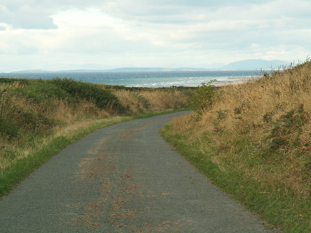
The north end of the Bollyn Road with Scotland in the distance
The end of an ancient ridge road (The Bollyn or Bollagh Jiargey [red road]) running between Bishopscourt and The Cronk. The hills of Dumfries and Galloway are unusually clear. This is looking north.
 Map © Crown Copyright")
TIP: Click the map for more Large scale mapping
- Grid Square
- SC3395, 10 images (more nearby 🔍)
- Photographer
- David Radcliffe (more nearby)
- Date Taken
- Friday, 16 September, 2005 (more nearby)
- Submitted
- Wednesday, 28 September, 2005
- Subject Location
-
OSGB36:
 SC 335 951 [100m precision]
WGS84: 54:19.4541N 4:33.7019W - Camera Location
-
OSGB36: SC 335 950
- View Direction
- NORTH (about 0 degrees)