2018
TL8706 : Panorama of Blackwater Estuary from Heybridge Basin
taken 6 years ago, near to Heybridge Basin, Essex, England
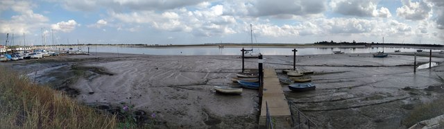
Panorama of Blackwater Estuary from Heybridge Basin
 Map © Crown Copyright")
TIP: Click the map for more Large scale mapping
- Grid Square
- TL8706, 91 images (more nearby 🔍)
- Photographer
- Chris Fletcher (more nearby)
- Date Taken
- Tuesday, 21 August, 2018 (more nearby)
- Submitted
- Tuesday, 21 August, 2018
- Subject Location
-
OSGB36:
 TL 872 068 [100m precision]
WGS84: 51:43.7180N 0:42.6158E - Camera Location
-
OSGB36: TL 872 068
- View Direction
- East-southeast (about 112 degrees)