O1402 : Track and Gate
taken 6 years ago, 4 km NW of Annamoe, Co Wicklow, Ireland
Track and Gate
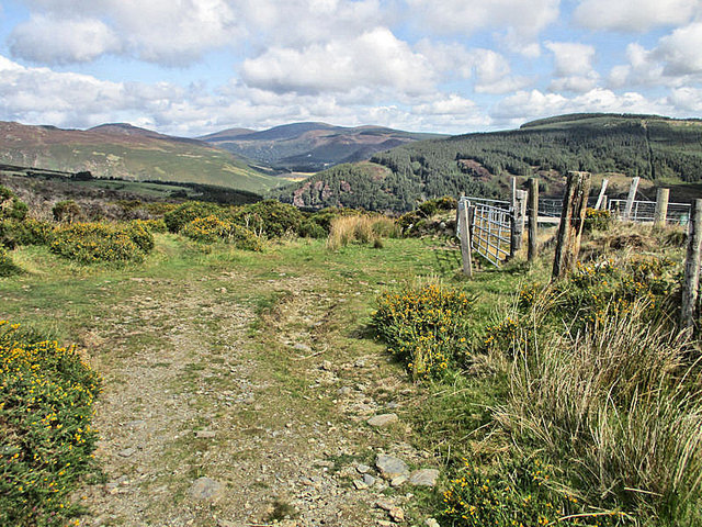
Track to Scarr summit, looking NE towards valley of Cloghoge River and Luggala.
![Creative Commons Licence [Some Rights Reserved]](https://s1.geograph.org.uk/img/somerights20.gif)
|
· Find out How to reuse this image ·
Share:
|
|||||
| Start a discussion on O1402 | Suggest an update to this image | Contact the contributor | |||
Loading map... (JavaScript required)
- Grid Square
- O1402 (more nearby
 )
)
- Photographer
- kevin higgins (find more nearby)
- Date Taken
- Thursday, 30 August, 2018 (more nearby)
- Submitted
- Friday, 31 August, 2018
- Geographical Context
- Primary Subject of Photo
- Subject Location
-
Irish:
 O 145 024 [100m precision]
WGS84: 53:3.6262N 6:17.5189W - Camera Location
-
Irish: O 142 023
- View Direction
- East-northeast (about 67 degrees)
This page has been viewed about 22 times.
View this location:
KML (Google Earth) ·
Google Maps ·
Bing Maps ·
Geograph Coverage Map ·
More Links for this image
·
Bing Maps ·
Geograph Coverage Map ·
More Links for this image