2018
TM2332 : Ferry and oil drilling rig, Harwich International Port
taken 6 years ago, near to Parkeston, Essex, England
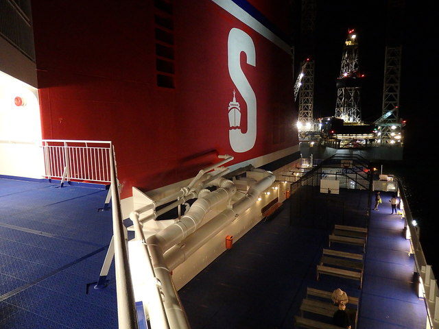
Ferry and oil drilling rig, Harwich International Port
 Map © Crown Copyright")
TIP: Click the map for more Large scale mapping
- Grid Square
- TM2332, 93 images (more nearby 🔍)
- Photographer
- Rudi Winter (more nearby)
- Date Taken
- Thursday, 30 August, 2018 (more nearby)
- Submitted
- Wednesday, 5 September, 2018
- Subject Location
-
OSGB36:
 TM 2338 3281 [10m precision]
WGS84: 51:56.9342N 1:14.9451E - Camera Location
-
OSGB36: TM 2342 3282
- View Direction
- West-southwest (about 247 degrees)