2018
SE8847 : Loaningdale Bottom
taken 6 years ago, 3 km from Londesborough, East Riding of Yorkshire, England
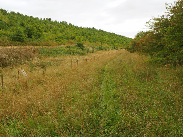
Loaningdale Bottom
 Map © Crown Copyright")
TIP: Click the map for more Large scale mapping
- Grid Square
- SE8847, 2 images (more nearby 🔍)
- Photographer
- Andy Beecroft (more nearby)
- Date Taken
- Sunday, 9 September, 2018 (more nearby)
- Submitted
- Sunday, 9 September, 2018
- Subject Location
-
OSGB36:
 SE 881 478 [100m precision]
WGS84: 53:55.1316N 0:39.6045W - Camera Location
-
OSGB36: SE 8824 4794
- View Direction
- Southwest (about 225 degrees)