1999
SN4748 : Ael y bryn cwrtnewydd
taken 25 years ago, near to Aber, Ceredigion/Sir Ceredigion, Wales
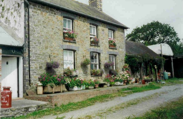
Ael y bryn cwrtnewydd
 Map © Crown Copyright")
TIP: Click the map for more Large scale mapping
- Grid Square
- SN4748 (more nearby 🔍)
- Photographer
- judy (more nearby)
- Date Taken
- Sunday, 20 June, 1999 (more nearby)
- Submitted
- Sunday, 21 October, 2007
- Subject Location
-
OSGB36:
 SN 472 482 [100m precision]
WGS84: 52:6.6793N 4:13.9500W - Camera Location
-
OSGB36: SN 472 482
- View Direction
- WEST (about 270 degrees)