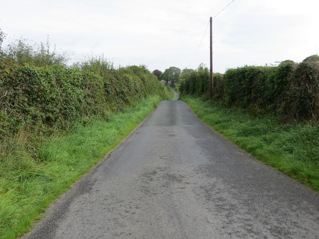
M6978 : Hedge enclosed lane near Longford, Castlerea
taken 6 years ago, near to Castlerea, Co Roscommon, Ireland
![Creative Commons Licence [Some Rights Reserved]](https://s1.geograph.org.uk/img/somerights20.gif)
|
· Find out How to reuse this image ·
Share:
|
|||||
| Start a discussion on M6978 | Suggest an update to this image | Contact the contributor | |||
Loading map... (JavaScript required)
- Grid Square
- M6978 (more nearby
 )
)
- Photographer
- Peter Wood (find more nearby)
- Date Taken
- Tuesday, 11 September, 2018 (more nearby)
- Submitted
- Wednesday, 12 September, 2018
- Geographical Context
- Primary Subject of Photo
- Subject Location
-
Irish:
 M 69069 78687 [1m precision]
WGS84: 53:45.4220N 8:28.1809W - Camera Location
-
Irish: M 69042 78652
- View Direction
- Northeast (about 45 degrees)
This page has been viewed about 23 times.
View this location:
KML (Google Earth) ·
Google Maps ·
Bing Maps ·
Geograph Coverage Map ·
More Links for this image
·
Bing Maps ·
Geograph Coverage Map ·
More Links for this image