J0225 : The northern end of Camlough Lake
taken 6 years ago, near to Camlough, Co Armagh, Northern Ireland
This is 1 of 2 images, with title The northern end of Camlough Lake in this square
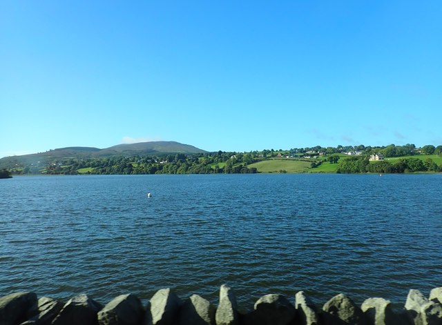
The northern end of Camlough Lake
The houses beyond are on the Ballynalack Road, The peak in the distance is Slieve Gullion.
![Creative Commons Licence [Some Rights Reserved]](https://s1.geograph.org.uk/img/somerights20.gif)
|
· Find out How to reuse this image ·
Share:
|
|||||
| Start a discussion on J0225 | Suggest an update to this image | Contact the contributor | |||
Loading map... (JavaScript required)
- Grid Square
- J0225, 59 images (more nearby
 )
)
- Photographer
- Eric Jones (find more nearby)
- Date Taken
- Wednesday, 12 September, 2018 (more nearby)
- Submitted
- Saturday, 15 September, 2018
- Geographical Context
- Subject Location
-
Irish:
 J 026 255 [100m precision]
WGS84: 54:10.1232N 6:25.7407W - Camera Location
-
Irish: J 026 259
- View Direction
- SOUTH (about 180 degrees)
This page has been viewed about 12 times.
View this location:
KML (Google Earth) ·
Google Maps ·
Bing Maps ·
Geograph Coverage Map ·
More Links for this image
·
Bing Maps ·
Geograph Coverage Map ·
More Links for this image