H9524 : Approaching St Oliver's Primary School, Carrickrovaddy, along the Roxborough Road
taken 6 years ago, 4 km SE of Newtownhamilton, Co Armagh, Northern Ireland
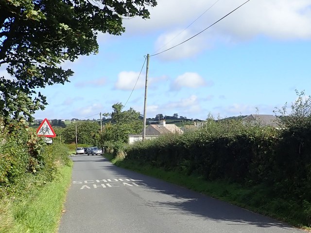
Approaching St Oliver's Primary School, Carrickrovaddy, along the Roxborough Road
By the school the Roxborough Road joins the Carrickrovaddy Road which links the village of Cullyhanna with the A25.
![Creative Commons Licence [Some Rights Reserved]](https://s1.geograph.org.uk/img/somerights20.gif)
|
· Find out How to reuse this image ·
Share:
|
|||||
| Start a discussion on H9524 | Suggest an update to this image | Contact the contributor | |||
Loading map... (JavaScript required)
- Grid Square
- H9524, 19 images (more nearby
 )
)
- Photographer
- Eric Jones (find more nearby)
- Date Taken
- Wednesday, 12 September, 2018 (more nearby)
- Submitted
- Sunday, 16 September, 2018
- Geographical Context
- Subject Location
-
Irish:
 H 952 244 [100m precision]
WGS84: 54:9.6102N 6:32.5300W - Camera Location
-
Irish: H 952 243
- View Direction
- NORTH (about 0 degrees)
This page has been viewed about 20 times.
View this location:
KML (Google Earth) ·
Google Maps ·
Bing Maps ·
Geograph Coverage Map ·
More Links for this image
·
Bing Maps ·
Geograph Coverage Map ·
More Links for this image