N5170 : Passing the south-east gate, Fore
taken 6 years ago, near to Fore, Co Westmeath, Ireland
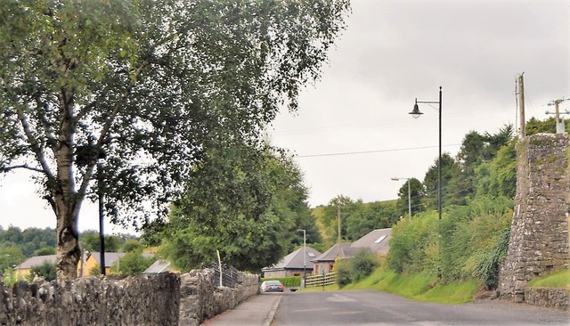
Passing the south-east gate, Fore
Fore (Irish: Baile Fhobhair, meaning "Townland of the Spring") is a village, next to the old Benedictine Abbey ruin of Fore Abbey, situated to the north of Lough Lene in County Westmeath.
The village, is situated within a valley between two hills: the Hill of Ben, the Hill of Houndslow, and the Ankerland rise area. There can be found the ruins of a Christian monastery, abbey, church, gates and crosses
Fore is the anglicised version of the Irish name that signifies the town of the water-springs and was given to the area after Saint Feichins spring or well, which is next to the old church a short distance from where the ruined monastery still stands. It was St. Feichin who founded the ancient Fore Abbey around 630.
See other images of Fore
![Creative Commons Licence [Some Rights Reserved]](https://s1.geograph.org.uk/img/somerights20.gif)
|
· Find out How to reuse this image ·
Share:
|
|||||
| Start a discussion on N5170 | Suggest an update to this image | Contact the contributor | |||
Loading map... (JavaScript required)
- Grid Square
- N5170, 17 images (more nearby
 )
)
- Photographer
- N Chadwick (find more nearby)
- Date Taken
- Thursday, 2 August, 2018 (more nearby)
- Submitted
- Sunday, 16 September, 2018
- Geographical Context
- Subject Location
-
Irish:
 N 5122 7019 [10m precision]
WGS84: 53:40.7463N 7:13.5377W - Camera Location
-
Irish: N 5121 7021
- View Direction
- Southeast (about 135 degrees)
This page has been viewed about 40 times.
View this location:
KML (Google Earth) ·
Google Maps ·
Bing Maps ·
Geograph Coverage Map ·
More Links for this image
·
Bing Maps ·
Geograph Coverage Map ·
More Links for this image