2018
SD6975 : The valley of the River Twiss viewed from the path leading up to Twisleton Scars
taken 6 years ago, near to Ingleton, North Yorkshire, England
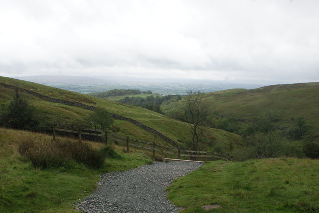
The valley of the River Twiss viewed from the path leading up to Twisleton Scars
Looking south-southwest.
 Map © Crown Copyright")
TIP: Click the map for more Large scale mapping
- Grid Square
- SD6975, 230 images (more nearby 🔍)
- Photographer
- Robert Lamb (more nearby)
- Date Taken
- Saturday, 15 September, 2018 (more nearby)
- Submitted
- Wednesday, 19 September, 2018
- Subject Location
-
OSGB36:
 SD 6942 7502 [10m precision]
WGS84: 54:10.2034N 2:28.1948W - Camera Location
-
OSGB36: SD 6957 7545
- View Direction
- South-southwest (about 202 degrees)