H9621 : The outcropping of igneous rocks in the Aughanduff hills
taken 6 years ago, 4 km E of Cullyhanna, Co Armagh, Northern Ireland
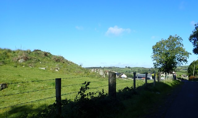
The outcropping of igneous rocks in the Aughanduff hills
These hills are part of the Ring of Gullion hills. Visible, on lower ground to the lee of the rough ground is a farming hamlet and beyond it, extending in the direction of the A25, is a swarm of drumlins.
H9621 : New farm shed on the west side of Glenmore Road
H9621 : New farm shed on the west side of Glenmore Road
![Creative Commons Licence [Some Rights Reserved]](https://s1.geograph.org.uk/img/somerights20.gif)
|
· Find out How to reuse this image ·
Share:
|
|||||
| Start a discussion on H9621 | Suggest an update to this image | Contact the contributor | |||
Loading map... (JavaScript required)
- Grid Square
- H9621, 21 images (more nearby
 )
)
- Photographer
- Eric Jones (find more nearby)
- Date Taken
- Wednesday, 12 September, 2018 (more nearby)
- Submitted
- Thursday, 20 September, 2018
- Geographical Context
- Subject Location
-
Irish:
 H 963 214 [100m precision]
WGS84: 54:8.0030N 6:31.5858W - Camera Location
-
Irish: H 964 214
- View Direction
- Northwest (about 315 degrees)
This page has been viewed about 17 times.
View this location:
KML (Google Earth) ·
Google Maps ·
Bing Maps ·
Geograph Coverage Map ·
More Links for this image
·
Bing Maps ·
Geograph Coverage Map ·
More Links for this image